& Construction

Integrated BIM tools, including Revit, AutoCAD, and Civil 3D
& Manufacturing

Professional CAD/CAM tools built on Inventor and AutoCAD
The land development industry is facing talent gaps, siloed work, compressed schedules, and other hurdles. Autodesk solutions can help, by providing more efficient workflows, interoperability, and collaboration. Enjoy improved designed quality and increased accuracy throughout the project lifecycle.
Connect people, data, and processes across the project lifecycle in a cloud-based, common data environment. Expand beyond the office; work together anytime, anywhere. With transparent workflows, you can reduce distractions and errors, and increase capacity. And with a centralized source of truth, you can eliminate siloes, improve access to data, generate insights, and enjoy complete oversight.
Digital transformation is critical to meeting industry needs. Using the Building Information Modeling (BIM) process, engineers can satisfy demands and make more informed design decisions at every step of the asset lifecycle. Reduce risk and improve workflows and operational efficiency.
Comprehensive 3D models make it possible to create and handle all project information throughout the asset’s lifecycle. Gain insights faster, improve multidisciplinary team coordination, and avoid data loss and inaccuracy.
Get more efficient land development workflows, interoperability, and collaboration. Greater productivity leads to improvements in design quality.
Become more competitive and digitally mature. Stay on the cutting edge, with the most up-to-date tools, resources, and workflow capabilities.
Collaborative workflows with multiple disciplines lead to fewer field change requests and model rework. Gain more accurate models throughout the project lifecycle.
Improve communication across a decentralized workforce. Enjoy decreased delivery times, increased productivity, and reduced field change requests.
Powerful BIM and CAD tools for designers, engineers, and contractors, including Revit, AutoCAD, Civil 3D, Forma Site Design, and more
Plan, design, construct, and manage buildings with powerful tools for Building Information Modeling.
Navisworks Manage, Navisworks Simulate software and the Navisworks Freedom 3D viewer for 5D analysis, design simulation, and project review.
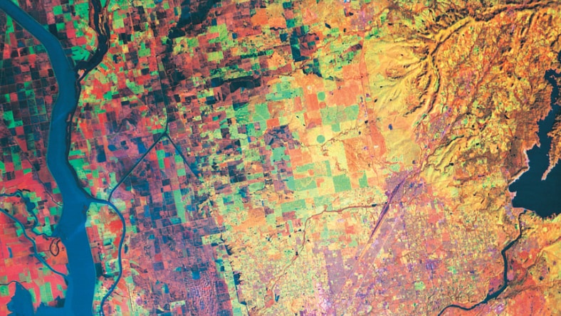
Autodesk infrastructure design software simplifies the identification and mapping of terrain features.
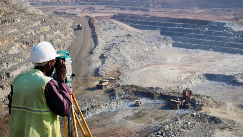
With Autodesk land surveying software, streamline the evaluation of a 3D landscape.
Experience the accuracy, efficiency, and versatility of drone surveying as you efficiently gather precise aerial data.
The refined scan-to-BIM workflow automates the modeling process and provides a visualization of design intent.
Article
Urban sustainability recognizes every aspect of city living, designing with all of the interconnected effects in mind.
ARTICLE
See how green-energy company afterFIT is working toward Japan’s low-carbon initiatives with 3D design simulations.
Article
Near Abu Dhabi, United Arab Emirates, digital urban planning is helping create a sustainable community development.
ARTICLE
Learn five ways to move toward a circular city, which is designed to minimize negative effects on the environment.
Autodesk water industry solutions help you manage today's water systems and build future-ready infrastructure.
Autodesk plant design and engineering software helps you design, build, and manage plants efficiently.
Land development is a complex process that involves the evaluation, planning, engineering, and construction of improvements on a piece of land based on codes and regulations set by the municipality and regulatory agencies.
Planners provide conceptual and alternative layout options to the developers. Surveyors provide a service of gathering all existing conditions that is shared with the development team. Civil engineers provide a variety of services for land development projects including grading and drainage design, utility design, roadway design, agency approval, and project management. The contractor provides services for the actual construction of the approved design.
Civil engineers, architects, and surveyors use the AEC Collection combined with Autodesk Construction Cloud to better design land development projects and increase collaboration using the power of the cloud.
The AEC Collection provides designers with a comprehensive set of tools that support a variety of tasks in the site design process, including context modeling, site design, and visualization. It helps engineers and contractors reduce errors and rework during construction while mitigating risk. The tools and features in the software help improve design quality, efficiently communicate design intent, and facilitate communication between project stakeholders.
Design automation is helping owners and engineers save time by processing design routines faster and more efficiently. Dynamo for Civil 3D and Revit, for example, help automate time-consuming or complex tasks in a fraction of the time and with greater accuracy.
Digital project delivery involves creating intelligent models that can be used in maintenance processes and act as a basis for future projects. Owners can provide better services to the public when they have more knowledge about the public infrastructure. They can also communicate critical details to stakeholders and designers with the digital models and details.
The Autodesk AEC Collection includes industry-leading BIM and CAD software for horizontal and vertical infrastructure. The AEC Collection gives every architect, engineer, designer, and contractor the tools and workflows to tackle all types of land development projects. The AEC Collection, coupled with the Autodesk Construction Cloud, gives you the common data environment needed so all project stakeholders have better communication.
With the tools available in the AEC Collection, you can reduce risk by moving to a model-based design, employ new technology to stay competitive, and use the Esri integrations to increase productivity. By using the Autodesk Construction Cloud, you can communicate better with stakeholders, collaborate across teams, and integrate models across disciplines.
A realistic visualization can help developers imagine what the completed project will look like. Being able to explain the design intent so clearly in 3D can be a major advantage. Visualization also makes it easier to identify and discuss issues. For many stakeholders, it is much clearer and easier to understand a 3D visualization than trying to imagine the completed project from 2D drawings.
Civil 3D, when purchased as part of the AEC Collection, has functionality inside called Grading Optimization that can quickly grade a land development site and maximize dirt quantities by balancing the cut/fill for the project. This helps you understand cost for grading a site, which is a big part of the overall cost of the project.
Additionally, simulation software such as Autodesk InfraWorks, also part of the AEC Collection, can contribute to sustainable land development. It can help optimize efficiency in a project while contributing to a reduction in waste. Simulation can also help with the design of the project. One example would be vehicle or people movement simulation. This can help with placement of roads, sidewalks, and more.


